The Mighty Rhône: Part 3 The final push - Aramon to Port Napoleon

19th July 2023
Today would be the last leg of our journey through the French waterways. We have been on the rivers and canals for so long it seems odd to think that this section of the journey is nearly at an end. When we were just south of Paris Igor stuck a map to the bulkhead and he's been highlighting our route ever since, noting where we went and where we stopped. Back then the south seemed a very long way away.
Our day started as usual on the river, Igor and I were up at 6.45 and away before 7.00am, but allowed Vik to sleep in a little longer.
As we left Aramon we got a good look at a building that had puzzled us last night as we approached. It was a tower, dominating the skyline, but with a jagged top like the Shard in London and a bulge on the side. We could only see the silhouette as we approached in the dusk.
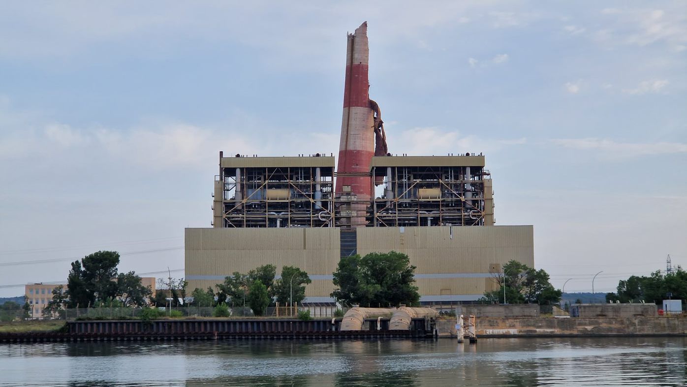
A lot of googling and translation revealed that it used to be the highest chimney in France but had to be demolished as it was no longer in use. This happened in June 2023, about 6 weeks ago, but the process was botched.
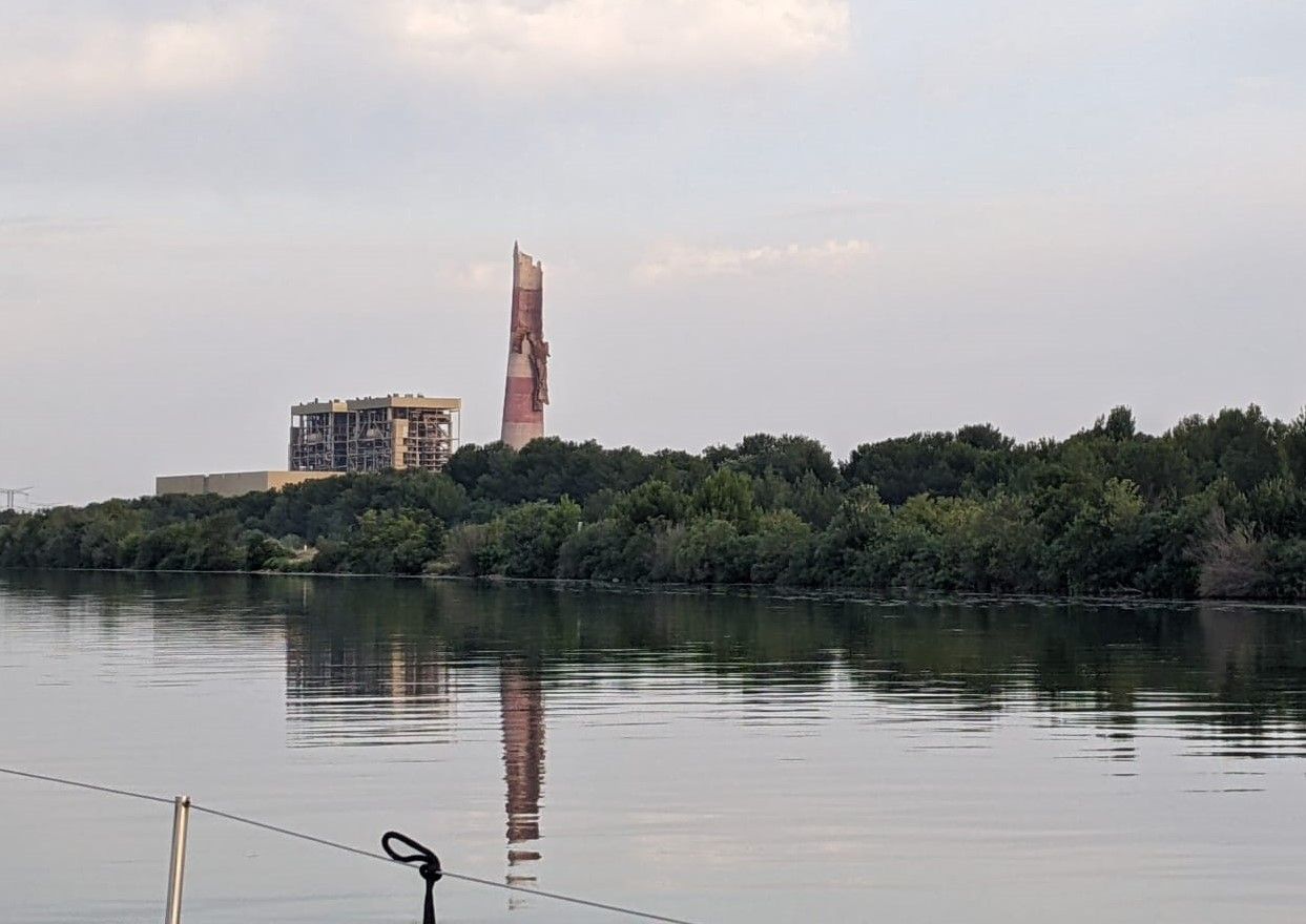
Only half the tower fell, leaving a dangerous structure with a mass of masonry hanging down on one side (the bulge). It will have to be nibbled away by cranes over the course of the summer. In daylight all this was obvious.
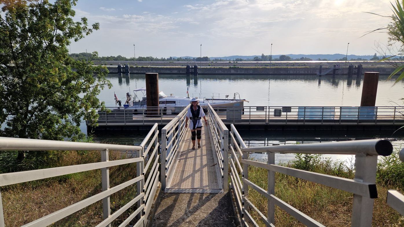
Vik joined us a bit later, and by 8.00 we had reached the final lock on the Rhône, Beaucaire. We headed to the waiting pontoon where we were the only boat. A man, an angler, took our ropes. He didn't put them quite where I wanted them but it would have been churlish to quibble.
A small commercial vessel eventually exited the lock, trailing a series of yellow floats that went on and on. No idea what they were.
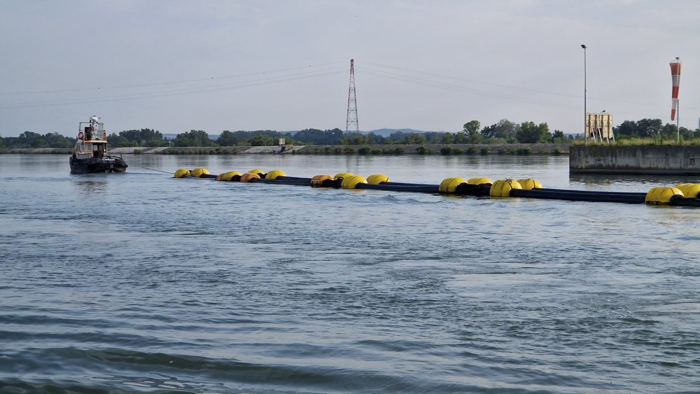
Once they were clear of the lock we went in.
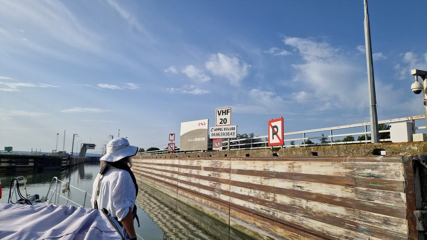
We had the place to ourselves and tied up at 8.26. I was hoping for a final singing lock but this wasn't to be. If anything the lock sounded like whale song and waves. Maybe because we are close to the sea?
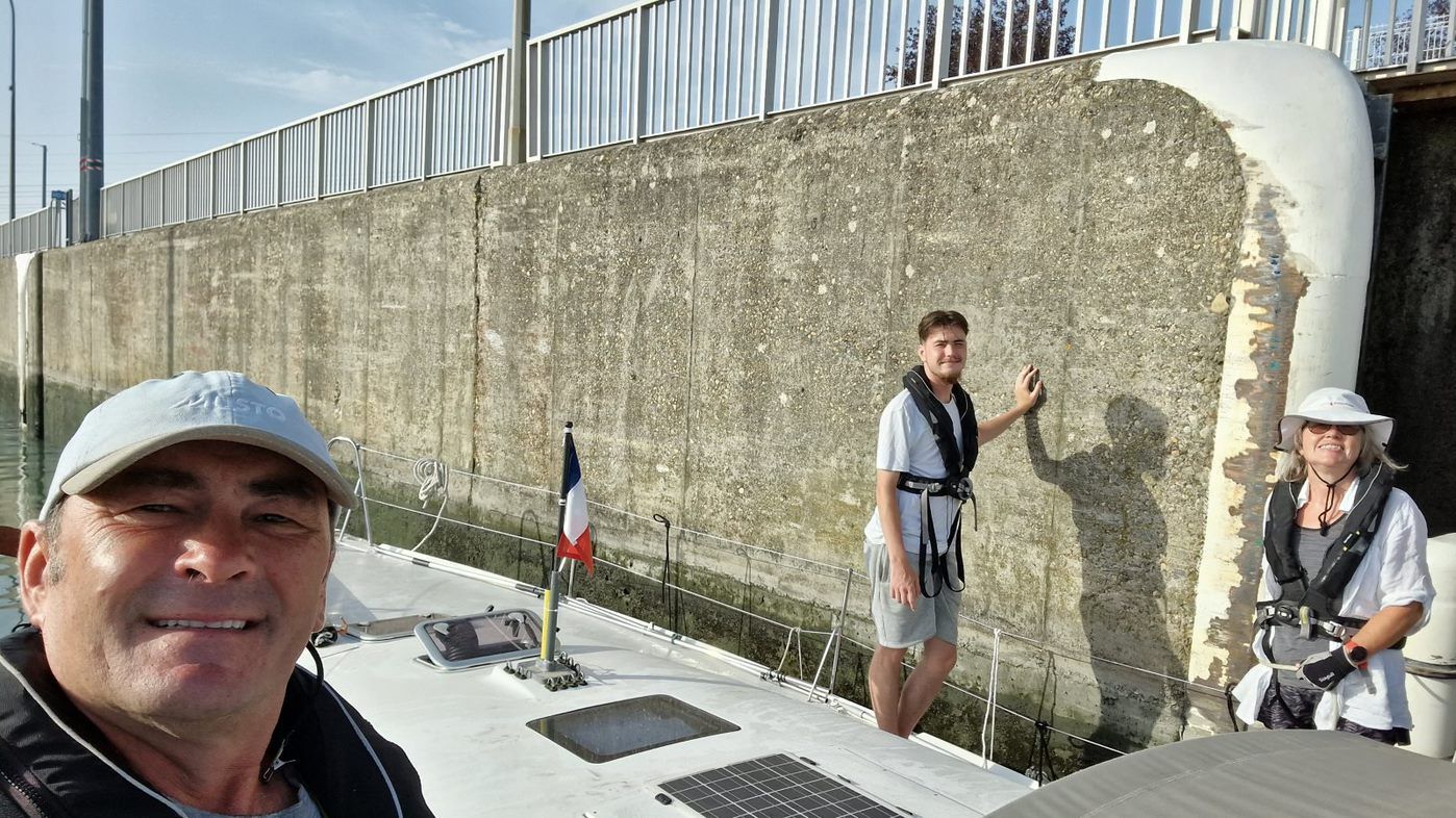
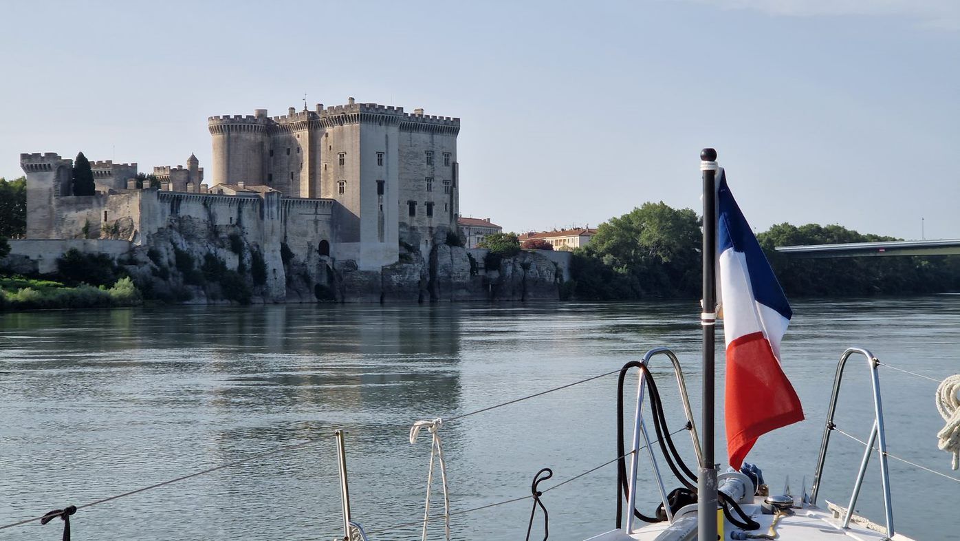
We left at 8.43. We had left the hills and mountains far behind and were in the flat river delta. The banks were built up with trees growing and there wasn't much else to see. There was a picturesque castle at Tarascon.
We reached Arles quite quickly, a noticeably fast current helping our speed over ground by a couple of knots, arriving at 10.15. There was a big sign saying Halte Fluviale but a barge was moored in front of it and didn't look like it was going anywhere as it was a restaurant.
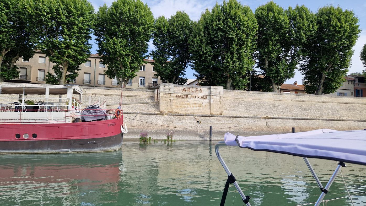
There was another pontoon a little further away with a couple of small fishing boats moored. Attached to that was a rusty metal grid resting on floats with weeds growing through. This looked like the only place we could stop and drop Vik to collect the car. We did a couple of passes to see if there was anywhere else and then tied to the makeshift pontoon.
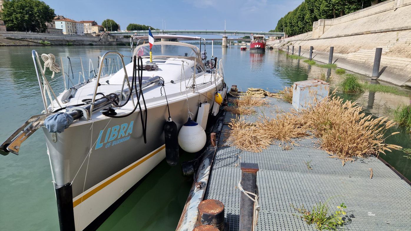
Igor and Vik got off. There was a locked gate which Vik had to climb over to exit.
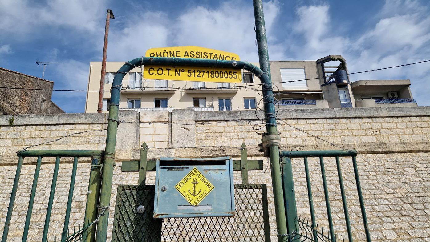
All in all this took 20 minutes or so. You couldn't plan on staying there if you're thinking of doing this trip yourself.
We were now back to the two of us on the boat and missing Vik already. He, meanwhile, was using the fact that cars are faster than boats to do some sightseeing before he met us in Port Napoleon. He went to Pont du Gard, had a swim and reached the Med well before us.
It was hard to believe that we were on the final kilometres of our epic journey through the French waterways. Crossing the Channel on 3rd April seemed like a very long time ago. We tried to appreciate the last section of the journey but the scenery was nowhere near as impressive as on some other legs. We did however see a few things that caught our attention.
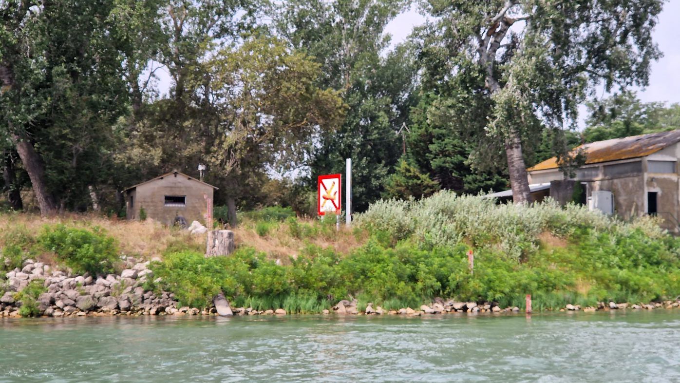
We had seen a few yellow dumpy looking planes overhead then saw this sign. It took us a while to work out what it could mean.
Next, one for any mathematicians:
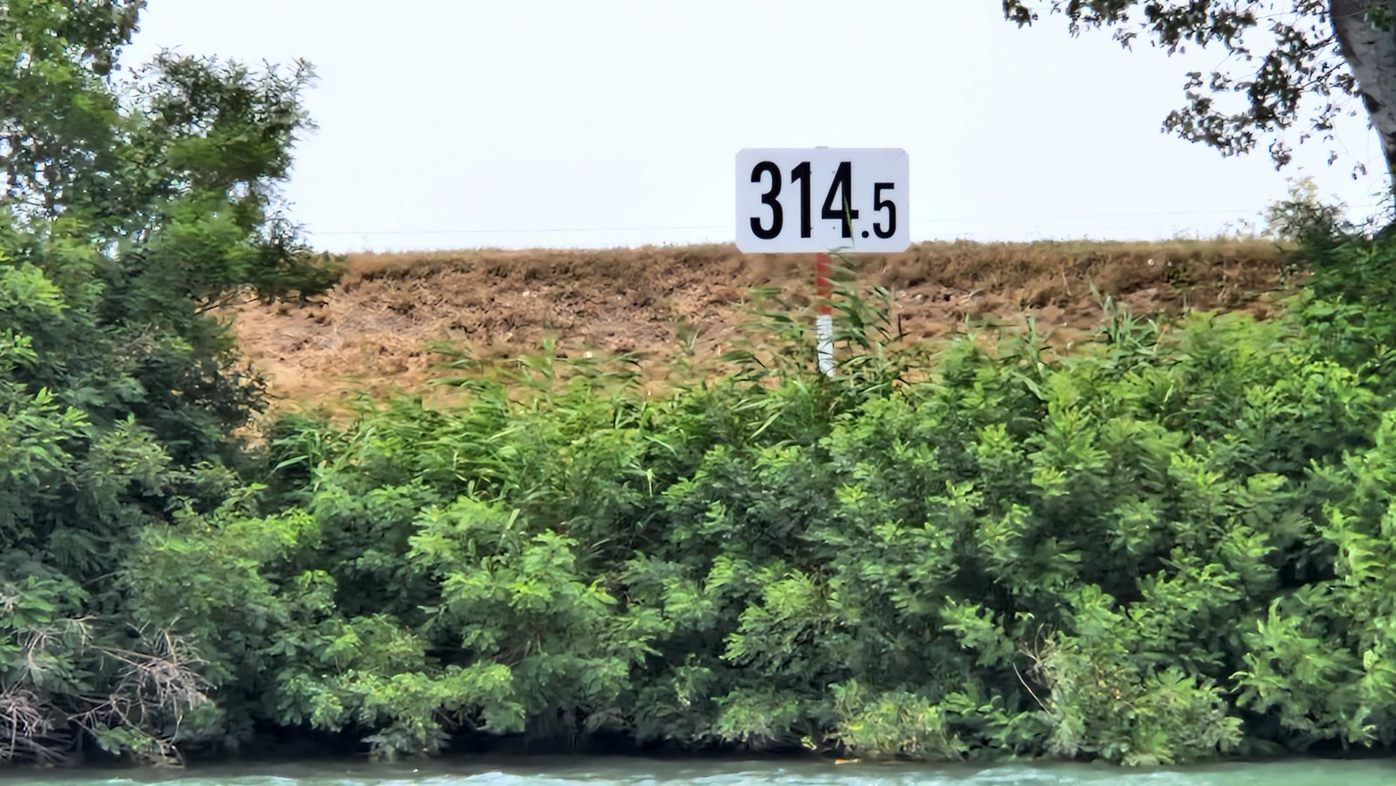
On the Seine, especially in the lower reaches, PK (Point Kilometrique ie milestones but in kilometres) signs were regularly displayed. In the canals they were a rarity, though signposts in locks might refer to them. Here on the Rhône we saw them all the time. They were a useful way to track progress without referring to books or charts.
Measurements are taken from the Zero PK in Lyon, at the confluence of the Rhône and Saône (there are discrepancies as diversion canals etc have changed some distances from the original course of the river so they are only a rough guide). As we neared the mouth of the river the numbers on the PK signs had been showing higher and higher numbers. The turn to Port Napoleon was just after PK 323.
This last leg had had some very fast sections, in particular over the Terrin shoals 10km downriver from Arles. They added 2.5 kts to our speed over ground. Whilst it's nice to go faster you have to concentrate much harder as things are moving a lot more quickly. After this the current returned to normal and a headwind picked up, slowing us further.
It took us two and a half hours from the 300 PK marker to reach the junction with the canal maritime Port St Louis. Vik had been waiting for us there for quite a while and met us by the lock. We saw a bridge rising behind the lock.
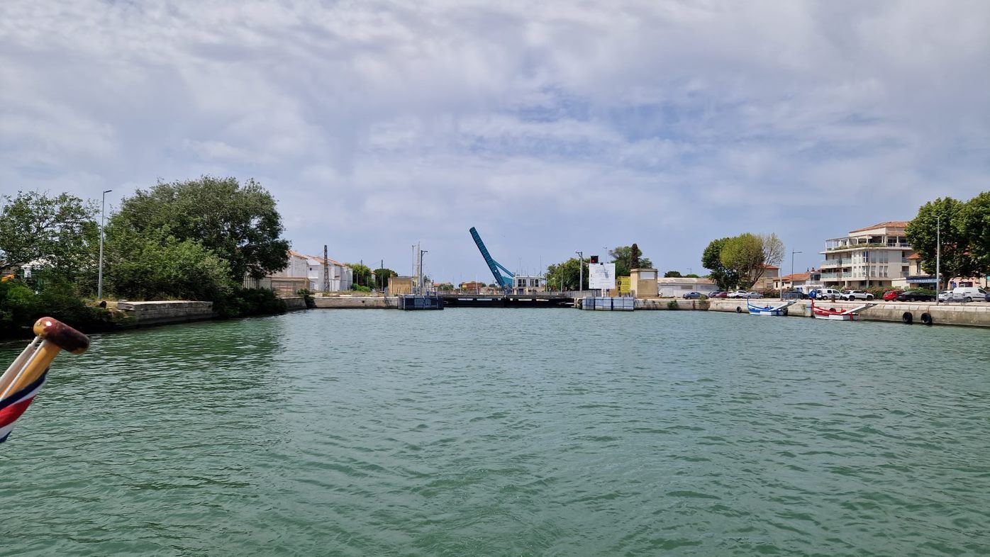
I radioed the lock keeper asking for permission to enter and was told to wait until 3.30pm. It was 2.55pm. We tied up to the wall, chatting to Vik. A big green boat was in the lock and eventually emerged.
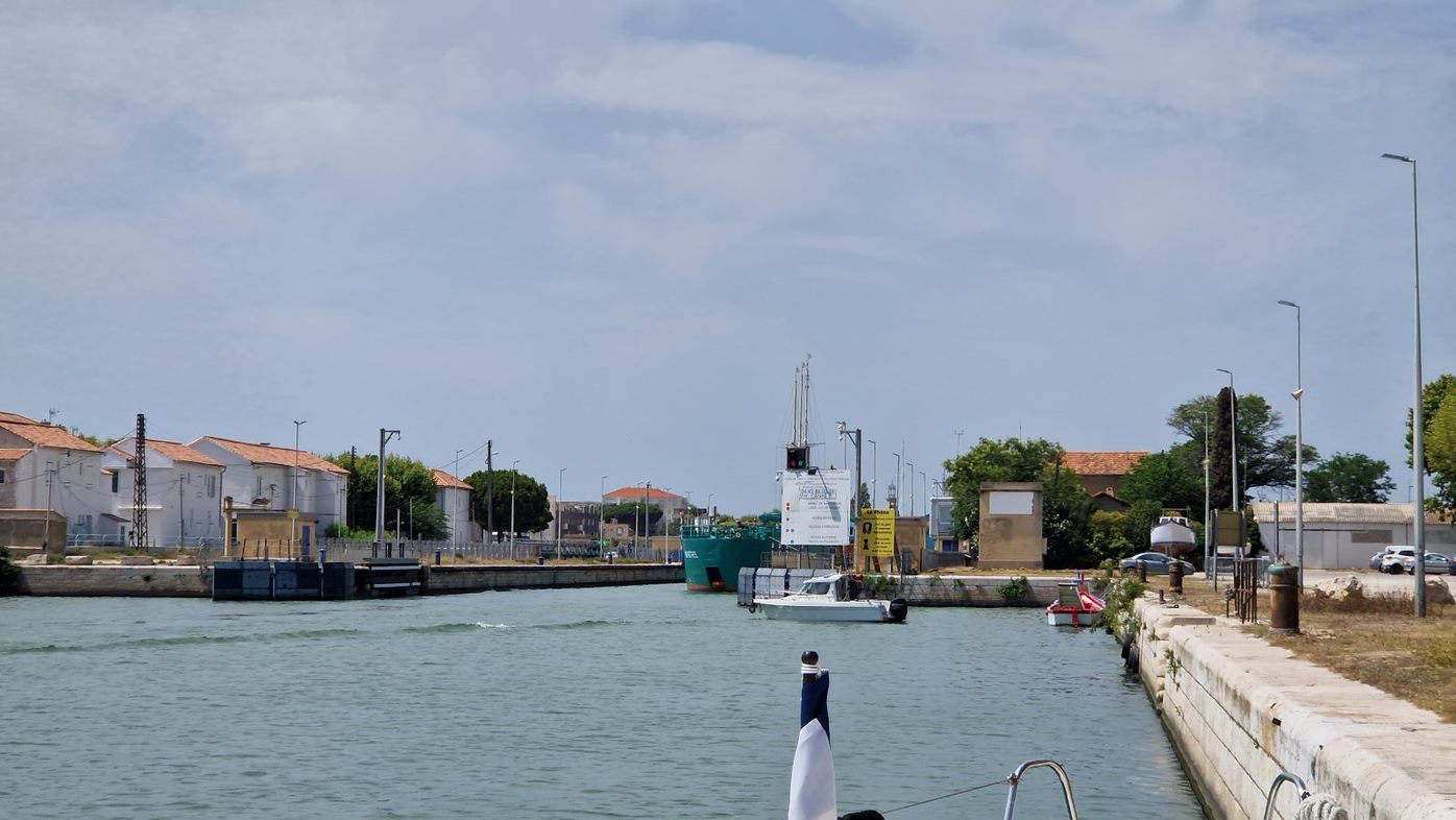
There was no waiting pontoon, just some big bollards and a few old tyres attached to the wall. Luckily Vik was able to take our lines and secure us.
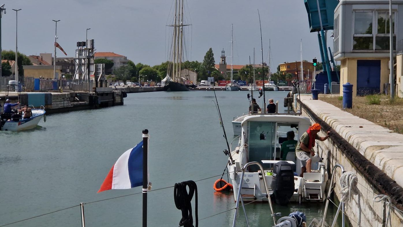
Once the big boat left we were allowed in. I looked for a place to secure us but all there was were short lengths of stainless steel tubing, think handrails, about 2 or 3 feet long, set vertically into the wall with loops of rope attached. By now there were several leisure fishing boats in the lock with us which had tied the loops around their cleats. I was still in big lock mode and worried what would happen once the water started flowing. I needn't have. At 4.00 the lock gates closed behind us and the bridge ahead of us rose - no second lock gates! Why is it even called a lock?
As we left I noticed something round and orange in the water. It looked like a life ring so we decided to retrieve it with the boat hook and give it back to the boat in front. I grabbed it, no problem, but unexpectedly it was really heavy. Then a fish flopped out of it. It was a keep net with the boat ahead of ours catch for the day.
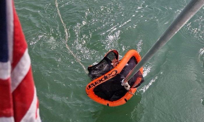
I couldn't hold it even at the snails pace we were travelling at so asked Igor for help (I didn't want to let go and lose our favourite boat hook!). Igor grabbed it. I asked him if he'd got it (referring to the helm) and he answered 'Yes', referring to the keep net. We both then saw that neither of us was steering and we were heading straight to the wall of the lock. I grabbed the tiller and moved us out of danger.
When we gave the net to the fishermen they didn't do anything to make it easier for us, almost having a tug of war with Igor when retrieving it. They didn't even give us any fish to say thank you.
From here it was a slow plod down the canal to Port Napoleon. I couldn't believe how many massive marinas and boatyards we saw along the way, all chock full. It was good to see proper masts again too.
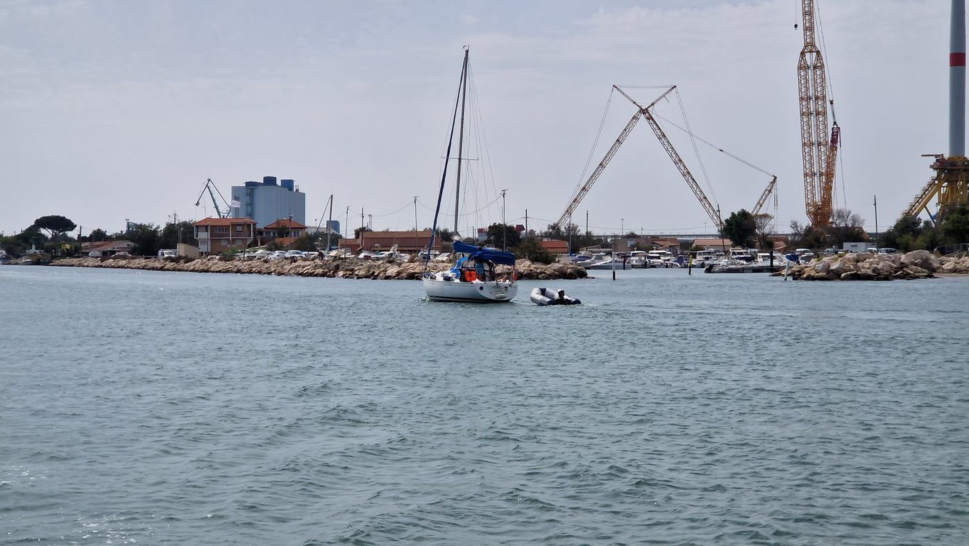
In a car this takes 5 minutes, but by boat you have to go all the way to the end of the canal, then turn along a buoyed channel to the marina at Port Napoleon.
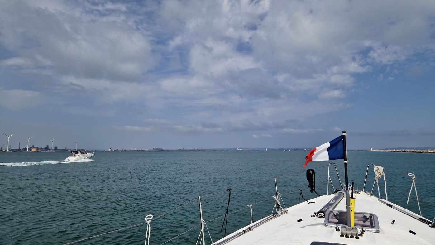
It took us well over an hour.
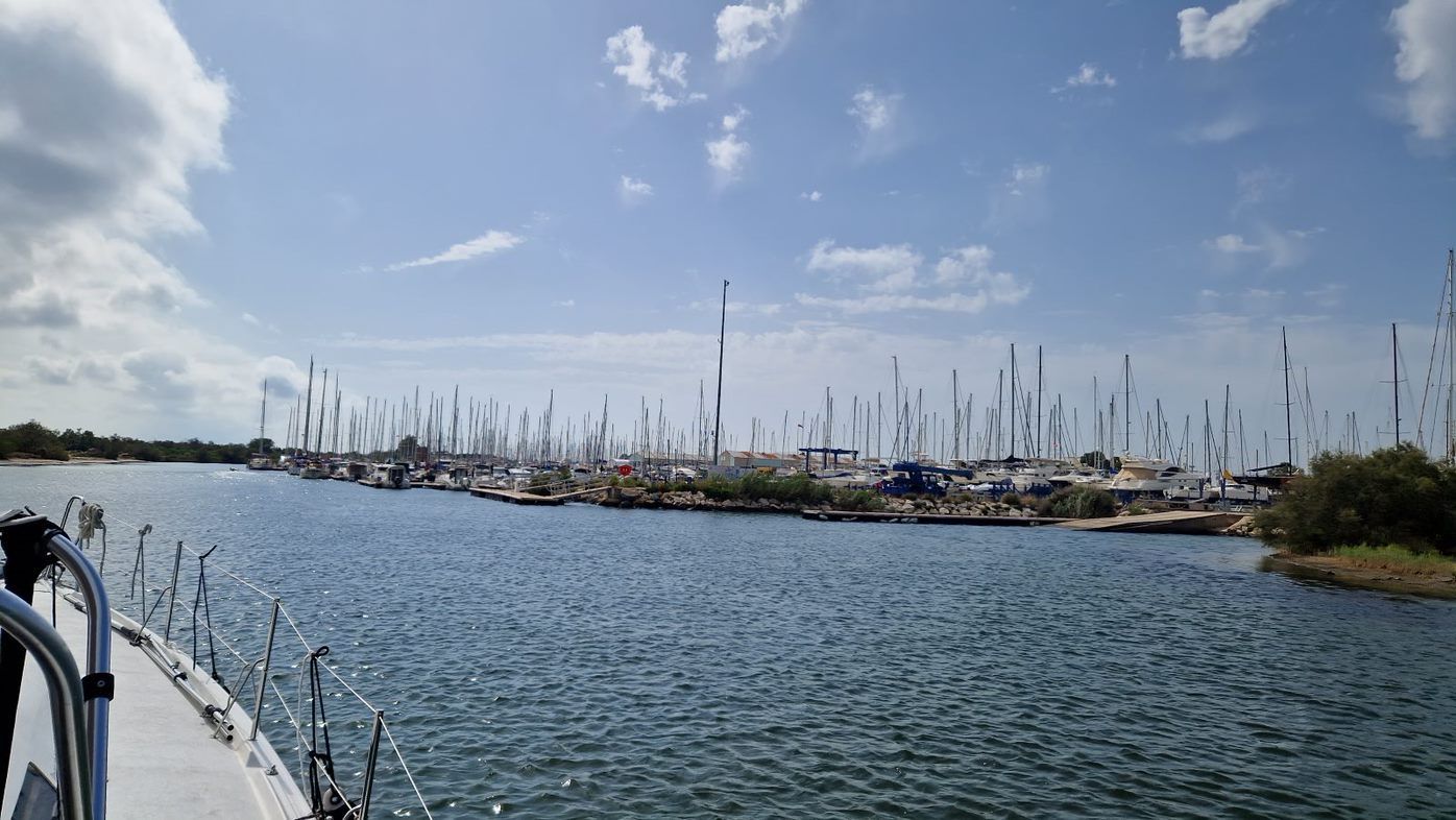
We'd been told to go to Pontoon D, the visitors' moorings, but there was no room, so Vik met us on Pontoon C and we moored there.
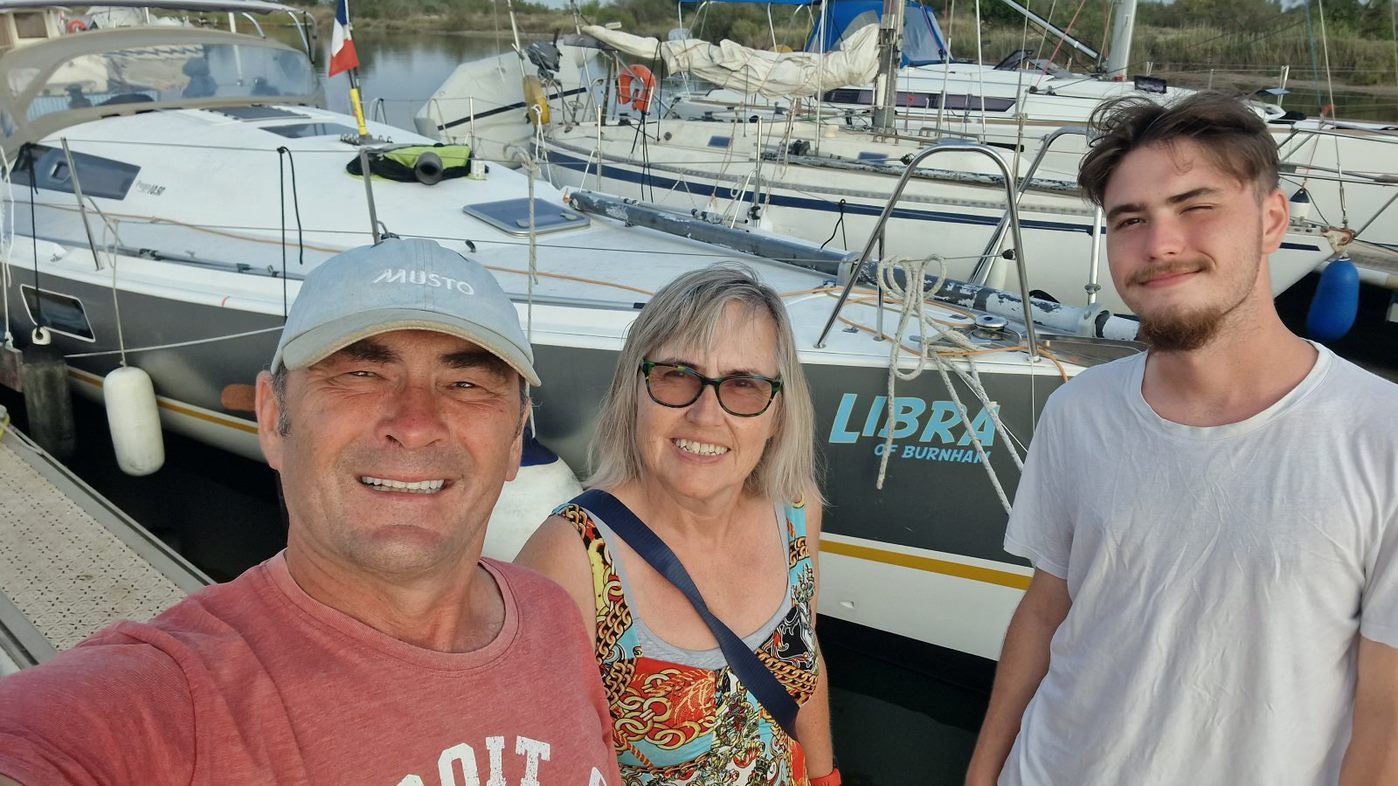
Finally, we are in the Med. Next step is to get our mast and make Libra back into a sailing boat. Then we plan our next steps. Don't worry, I'll keep you informed.
You can comment (or ask questions) at Libra Sail | Facebook